









Remote Adventure Riding Safety: Navigation, Satellite SOS and Coming Home Safely
17 September 2026
Navigation and Communication Do Different Jobs
Written by Elena from @els_venturing
Two pieces of equipment can address very different parts of the remote-travel problem: a dedicated motorcycle navigator and a satellite communicator.
A navigator helps you understand where you are and where you are going. A satellite communicator gives you a way to contact someone when the mobile network cannot.
Used together, they create a more complete safety system than either device provides on its own.
Garmin zūmo XT3: Navigation Built for Motorcycles
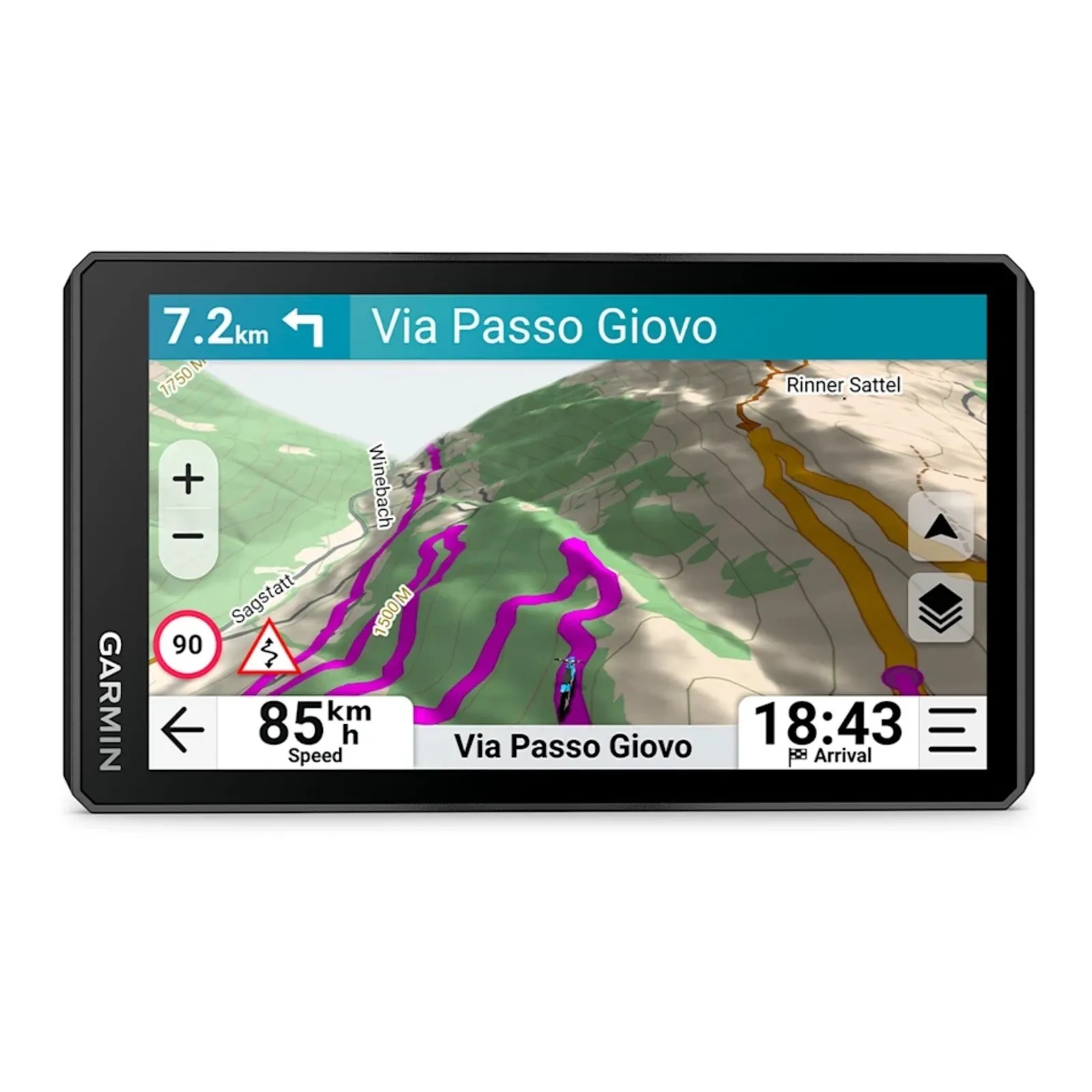
The Garmin zūmo XT3 is a dedicated motorcycle GPS navigator designed for on-road touring and off-road exploration.
Its six-inch or 4 inch, glove-friendly display can show street maps, topographic mapping and satellite imagery. This is particularly useful on remote trails where signs may be limited, intersections can be easy to miss and phone coverage cannot be relied upon.
The zūmo XT3 also includes motorcycle-focused route planning, including Garmin Adventurous Routing, and can help riders manage tracks and routes through the Garmin Tread app.
Navigation should never replace trip planning, local knowledge or carrying an appropriate backup. However, having mapping available independently of mobile reception can make it much easier to maintain situational awareness and identify a safe route out.
Garmin inReach Mini 3 Plus: A Connection Beyond Mobile Coverage
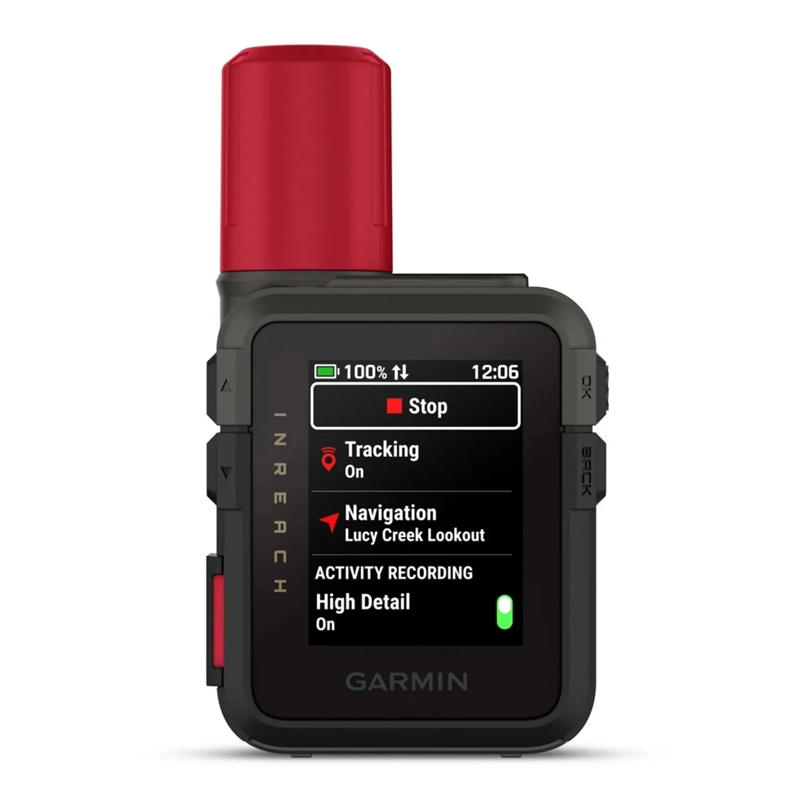
The compact Garmin inReach Mini 3 Plus is designed to keep adventurers connected outside cellular coverage.
With an active satellite subscription and a clear view of the sky, it supports two-way text communication, location sharing and interactive SOS messaging through the Garmin Response centre. The Mini 3 Plus also supports voice messages, while photos can be shared using the Garmin Messenger app on a compatible smartphone.
In an emergency, two-way communication can be particularly valuable. It allows a rider to provide information about the situation, receive instructions and confirm that help is being coordinated.
It can also be used before a situation becomes critical. A delayed rider can notify family or friends, send a check-in or share a location without waiting to regain phone reception.
A satellite communicator is not a guarantee of rescue, and performance can be affected by terrain, vegetation, device condition and satellite visibility. It must also be activated, charged and paired with an appropriate service plan before a trip.
Build a System, Not Just a Packing List
Safety equipment works best when it is part of a broader plan.
Before leaving on a remote ride:
-
Test your Inreach by sending a test message before you leave
-
Tell a trusted person where you are going, the route you intend to follow and when you expect to return.
-
Agree on what they should do if you miss a scheduled check-in.
-
Download or carry suitable maps and keep a backup independent of your phone.
-
Check the weather, fire conditions, track access and fuel range.
-
Charge and test your navigation and communication devices.
-
Confirm that your satellite subscription is active.
-
Carry enough water, food, medication and shelter for an unexpected delay.
-
Pack first-aid supplies, tools and equipment appropriate for your route.
-
Keep your satellite communicator attached to your body or within reach—not buried at the bottom of your luggage or left mounted on the bike.
-
Know how to send a check-in, share your location and trigger an SOS before you need to do it under pressure.
Group travel does not make this preparation unnecessary. Riders can become separated, and a crash or medical emergency may occur well outside mobile coverage.
Preparation Protects the Freedom to Explore
The answer to the risks of remote travel is not to stop exploring.
Adventure motorcycling will always involve uncertainty. That is part of its appeal. The goal is to manage the risks we can control so that a wrong turn, breakdown or injury does not become something worse simply because nobody knows where we are.
The combination of reliable navigation and off-grid communication can add an important layer to a rider’s safety plan. More importantly, it encourages the right mindset: tell someone, carry the right equipment and take responsibility for getting home.
Ride far. Explore freely. Prepare properly—and give yourself the best possible chance of returning safely.
Motorcycle Adventure Products supplied the Garmin equipment featured in the accompanying video. Satellite communication features require an active subscription and may be affected by environmental conditions. Always research your route and carry equipment appropriate to the location and activity.